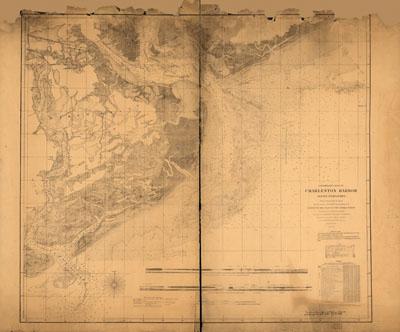
1858 Charleston Harbor

Preliminary chart of Charleston Harbor and its approaches. United States Coast Survey. [S.l.], Published in 1858. Additions in 1862. Inscribed in ink: Transferred from Office of Chf. Engr., Defenses of Washington, to Engr. Dept., Jany. 1866. Shows fortifications, towns, soundings, roads and streets, vegetation, and drainage. Includes "view of main ship channel" and "view off north channel."
SKU: antique181
Price Starting At: $12.50