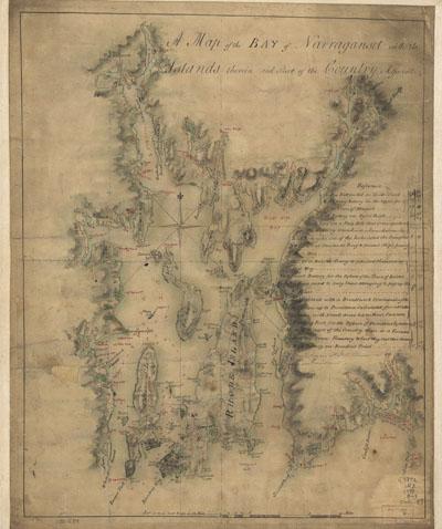
1777 Narrangansett Bay 1/2

A map of the bay of Narraganset with the islands therein and part of the country adjacent. Blaskowitz, Charles. [1777?] Scale ca. 1:63,360. Manuscript, pen-and-ink and watercolor Relief shown by shading. Depths shown by soundings.Includes "References" to the fortifications and defenses of the region.
SKU: antique202
Price Starting At: $12.50