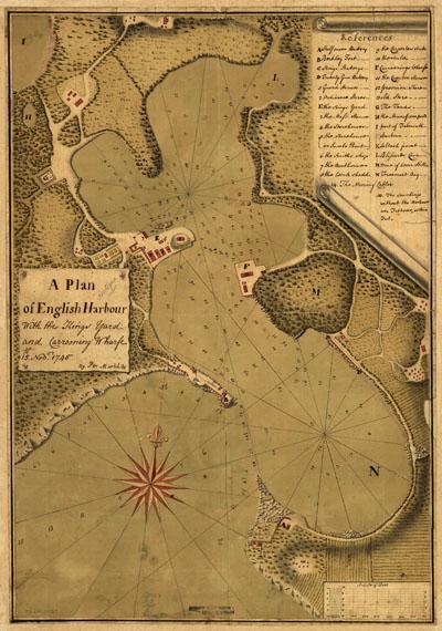
1745 English Harbour, Antigua, Barbados

A plan of English Harbour; with the King's yard and carreening wharfe, 15th. Nov. 1745. Manuscript, pen-and-ink and watercolor. Relief shown pictorially and by shading and hachures. Soundings shown in fathoms and feet. Map of Antigua and Barbuda.
SKU: antique136
Price Starting At: $12.50