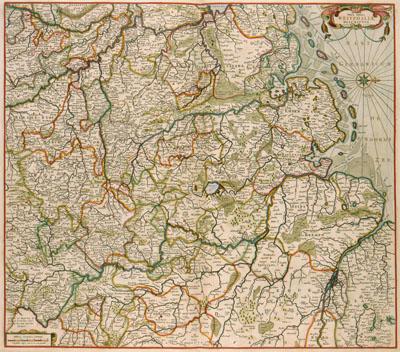
1688 Westphalia, Germany

Nova totius | WESTPHALIAE, Frederik de Wit (1688) This map of Westfalen was published by Frederik de Wit (1630-1706). De Wit based his map on the one by Gerard Mercator (1512-1594) of 1575, which was part of a series of 7 maps published in Cologne by Johannes Gigas (1580/82-1633) in 1620. Both maps were used by Amsterdam publishing houses until mid-18th century.
SKU: 17thcentury293
Price Starting At: $12.50