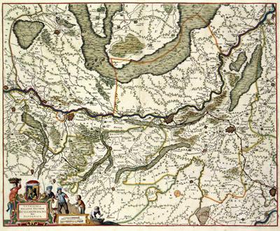
1688 Roermond, Netherlands

TETRACHIA | DUCATUS GELDRIAE | RUREMONDANA | sive | HISPANICA, Frederik de Wit (1688+)The map of the District Roermond of the duchy of Gelre was published at the end of the 17th century by Frederik de Wit (1630-1706). The map was based on a much older map from the hand of Nicolaas van Geelkercken (c. 1585-1656). Van Geelkercken produced the map in the thirties of the 17th century for the purpose of historiography of Gelderland by Johannes Pontanus.
SKU: 17thcentury037
Price Starting At: $12.50