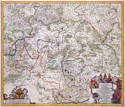
1688 Frankenland / Franconia, Germany

CIRCULUS | FRANCONICUS | in quo sunt | EPISCOPATUS | WURTZBURG, BAMBERG | et AICHSTET. | STATUS EQUITUM TEUTONICOR | DUCATUS COBURGENSIS. | MARCHIONATUS | CULLEMBACH, et ONSPACH. | COMITATUS | HENNEBERG, WERTHEIM, | HOLACH, | REINEC, | PAPENHEIM, ERPACH, | SCHWARTZENBERG, | et CASTEL. | BARONATUS SENSHEIM, | ET TERRITORIUM NORINBERGENSE, Frederik de Wit (1688) This map of Frankenland was published by Frederik de Wit (1630-1706). The only map available about this area was the map by Sebastian von Rotenhan (1478-1532) published in 1533 by Peter Apian (1495-1552). All atlas maps about this area which appeared in the 16th and 17th century were adaptations of this early 16th-century image.
SKU: 17thcentury196
Price Starting At: $12.50