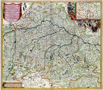
1688 Bavaria, Germany

CIRCULUS BAVARICUS | in quo sunt | DUCATUS, ELECTORATUS | & PALATINAT BAVARIAE, | ARCHIEPISC: SALISBURGI, | EPISCOPATUS | RATISBONAE, PATAVIAE | ET FRUXINI, | PALATINAT NEOBURGI | & LANDGRAVIATUS | LEUCHTENBERGI, Frederik de Wit (1688) The map of the Electorate Bayern was published before the year 1689 by Frederik de Wit (1630-1706). From 1689, he mentioned his privileges on each map. The source of this map is the topographical survey of Bayern conducted by Philipp Appian (1531-1689) between 1554 and 1563. The results of this survey, 24 detailed maps of the area, were published in 1568. These so-called `Bayerische Landtafeln' continued to be used as the basis for many maps of Bayern for more than 200 years.
SKU: 17thcentury079
Price Starting At: $12.50