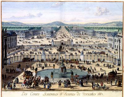
1683 View of Versailles, France

LE GOUVERNEMENT | DE CALAIS, | & PAIS, RECONQUIS, Joan Blaeu (1662)The map of Calais and vicinity was published in the Atlas Maior in 1662 by Joan Blaeu (1598-1673). The character of the city and country - Calais was an important harbour - has been depicted by the soldiers and seamen. The map was possibly copied after an example by Sebastien de Beaulieu from about 1642.
SKU: 17thcentury250
Price Starting At: $12.50