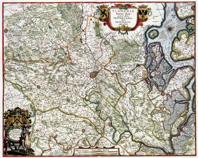
1682 Flanders, Belgium

Belgium Flanders, (1682)The map of Flanders was produced by the Amsterdam publishers Johannes Janssonius van Waesbergen (deceased 1681) and Steven Swart, together with the London publisher Moses Pitt (c. 1654-1696). The map was included in the fourth volume of their Atlas Maior which was published in Amsterdam in 1683.
SKU: 17thcentury212
Price Starting At: $12.50