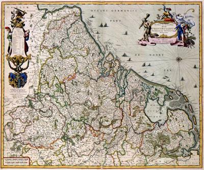
1681 Seventeen Provinces of the Netherlands

Netherlands, Nicolaas Visscher (1681)The general map of the Seventeen Provinces (Zeventien Provincies) formed the first national atlas of the Netherlands. The map came on the Dutch market in a number of versions and variations. This map was published in an atlas by Nicolaas Visscher. The map is dedicated to Johan Munter, city councillor of Amsterdam.
SKU: 17thcentury101
Price Starting At: $12.50