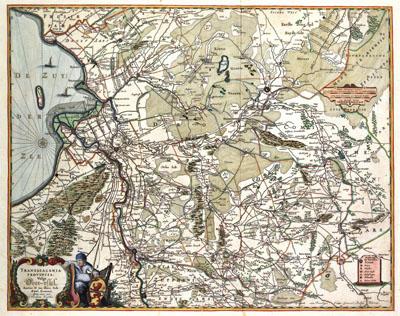
1681 Overijssel, Netherlands

TRANSISALANIA | PROVINCIA, Nicolaas Visscher (1681+)Contrary to other North-Netherland provinces it was not until the middle of the 17th century that an accurate map of Overijssel became available. The province was surveyed between 1640 and 1650 by Nicolaas ten Have, conrector of the Latin School in Zwolle. Ten Have published his attractive general map in four sheets in 1652. In Dutch atlases from the 17th and 18th centuries reductions of this map were published.
SKU: 17thcentury041
Price Starting At: $12.50