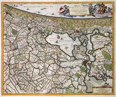
1681 Holland, Netherlands

Rijnland Amstelland Netherlands, Nicolaas Visscher (1681)This map gives a fairly accurate image of Holland at the end of the 17th century. The composer of this general map could rely on accurate sources for his map. In this part of the province the district water boards of Rijnland en Amstelland were responsible for the management and care of river and sea dikes. In order to fulfill this task as good as possible, detailed general maps were very important.
SKU: 17thcentury217
Price Starting At: $12.50