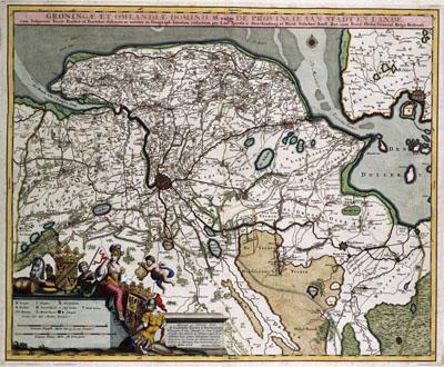
1681 Groningen, Netherlands

GRONINGAE ET OMELANDIAE DOMINIUM, Nicolaas Visscher (1681+)After much preparatory work by Ubbo Emmius (1547-1625), Barthold Wicheringe (1580-1652), local councilor in Groningen, published a large general map of the province of Groningen in 1616. This map was much more accurate then any map published before. Until far into the 18th century this map was the basis for many other maps of Groningen.
SKU: 17thcentury112
Price Starting At: $12.50