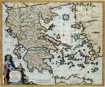
1681 Crete and Greece

Exactissima totius | ARCHIPELACHI | nec non | GRAECIAE | TABULA | in qua omnes subjacentes | Regiones et Insulae | distincte ostenduntur, Nicolaas Visscher (1681+)This map of the island Crete before the coast of Greece was published after 1681 by Nicolaas Visscher II (1649-1702). Visscher based this map on a map by the Danish cartographer Johann Wilhelm Lauremberg (1590-1658).
SKU: 17thcentury157
Price Starting At: $12.50