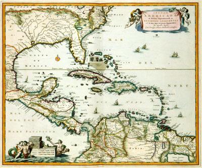
1681 Caribbean and Central America

INSULAE | AMERICANA | in Oceano ADIACENTES, Nicolaas Visscher (1681+)This map of Central-America was published by Nicolaas Visscher II (1649-1702). The image on the map is probable based on older maps published in Amsterdam at the beginning of the 17th century. Under influence of the French cartographers this image changed only at the end of the 17th century.
SKU: 17thcentury131
Price Starting At: $12.50