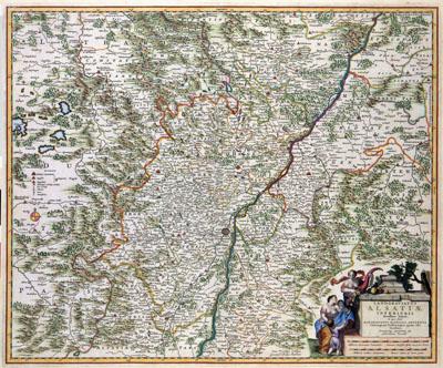
1681 Alsace, Germany, France

LANDGRAVIATUS | ALSATIAE | INFERIORIS | Novissima Tabula, | in qua simul | MARCHIONATUS BADENSIS, ORTENAVIA | Cateraq: tam Lotharingia quam alia | Confina, Nicolaas Visscher (1681)This map of the Alsace was published by Nicolaas Visscher (1649-1702). We do not know when the map was published. For the image of the map, Visscher may have used older Dutch or German sources.
SKU: 17thcentury298
Price Starting At: $12.50