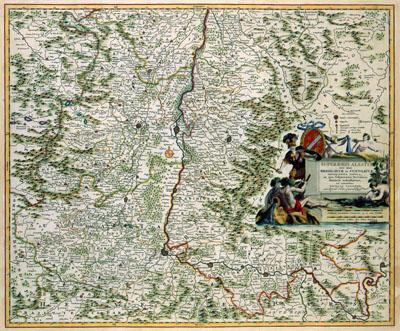
1681 Alsace, France

SUPERIORIS ALSATIAE | nec non | BRISIGAVIAE et SUNTGAVIAE | GEOGRAPHICA TABULA, | in qua subjacentia Territoria | distincte ostenduntur, | ex conatibus, Nicholaas Visscher (1681) This map of the Alsace was published by Nicolaas Visscher (1649-1702). We do not know when the map was published. For the image of the map, Visscher may have used older Dutch or German sources.
SKU: 17thcentury197
Price Starting At: $12.50