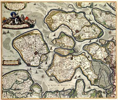
1680 Zeeland, Netherlands

COMITATVS | ZELANDIAE | Novissima Delineatio per, Nicolaas Visscher (-1680)The map of the county Zeeland was based for a long time on a general map from 1545 by the geographer Jacob van Deventer (c. 1505-1575). Most of the early atlas maps by Abraham Ortelius (1527-1598), Gerard Mercator (1512-1594) and Willem Jansz. (1571-1638) Blaeu were based on this important map. In the fifties of the 17th century Nicolaas I Visscher (1618-1679) published a new general map on 9 sheets by Zacharias Roman. Visscher reduced this map and it could be found in various atlases in the course of the 17th century.
SKU: 17thcentury040
Price Starting At: $12.50