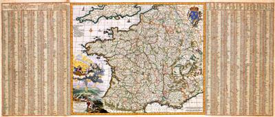
1680 Gaul / France

GALLIAE | seu | FRANCIAE | TABULA, Nicolaas Visscher (-1680)This map was printed by Nicolaas Visscher I (1618-1679). Visscher based the image of the map on a map by the French cartographer Damien de Templeux published in 1619 in the Th
SKU: 17thcentury140
Price Starting At: $12.50