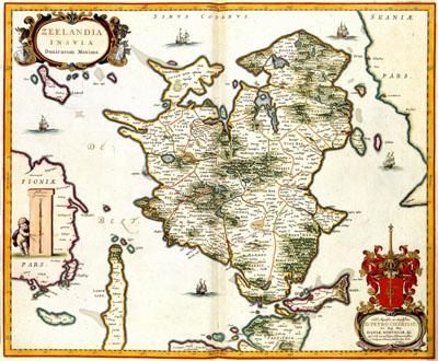
1662 Zealand, Denmark

ZEELANDIA | INSULA | Danicarum Maxima, Joan Blaeu (1662)The map of the Danish island Sjaelland was the result of a survey of the Danish kingdom which was carried out under orders from king ChristianIV in 1630 carried out under supervision of Johann Wilhelm Lauremberg (1590-1658) and Johannes Mejer (1606-1674). The map was published in 1662 in the Atlas Maior by Joan Blaeu (1598-1673). Blaeu dedicated the map to Petrus Charisius (deceased 1683). Charisius was official representative between 1651 to 1669 of Denmark and Norway in The Hague.
SKU: 17thcentury070
Price Starting At: $12.50