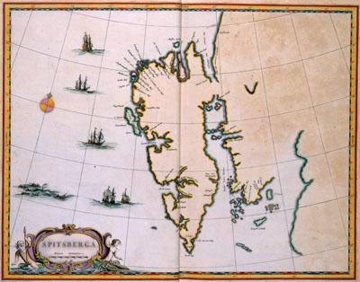
1662 Spitsbergen, Norway

SPITSBERGA, Joan Blaeu (1662)The island Spitsbergen was discovered in 1596 by Willem Barendtsz (c. 1550-1597) while searching for a north-eastern seaway to India. After its discovery, the Dutch established the whaling station Smerenburg that would become the most important station for the Dutch whalers in the 17th and 18th centuries. This map of Spitsbergen was published in 1662 by Joan Blaeu (1598-1673) in the first volume of his Atlas Maior.
SKU: 17thcentury277
Price Starting At: $12.50