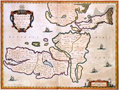
1662 Denmark, Lolland, Folster, Mon

LALANDIA | FALSTRIA | et | MONA, | INSULAE | IN MARI BALTHICO, Joan Blaeu (1662)This map of the Danish islands Lolland, Falster and Mon was published in 1662 in the Atlas Maior by Joan Blaeu (1598-1673). The map gives a contemporary view of the islands. For this map, Blaeu had at his disposal the results of a recent topographical survey of the Danish kingdom which was carried out in 1631 under orders from king Christian IV.
SKU: 17thcentury004
Price Starting At: $12.50