1874 Pittsburgh, Grand Rapids, Pennsylvania
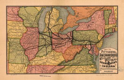
Map of the Pittsburg [sic], Fort Wayne & Chicago, Cleveland and Pittsburg [sic], Grand Rapids and Indiana, and Pennsylvania railroads. Rand McNally and Company. Chicago, c1874. Map of the northeastern United States showing relief by hachures, drainage, cities and towns, and the railroad network with named lines. Emphasis on the main lines.
SKU: trans022
Price Starting At: $12.50