1866 Atlantic and Great Western Railway
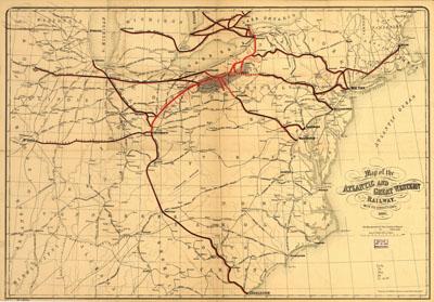
Map of the Atlantic and Great Western Railway, with its connections, 1866. Signed in ms. "M. Fillmore." Annotated in ms. on verso: Hon. Millard Fillmore with compliments of Chas. S. P. Bowles. Outline map of eastern United States from the Great Lakes to Charleston, S.C., showing drainage, cities and towns, county boundaries, and the railroad network, main lines indicated in heavy red and black; chartered in 1858 as successor to Meadville Company.
SKU: trans051
Price Starting At: $12.50