1860 Colton's Map of Indiana
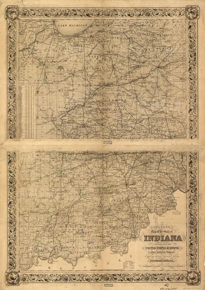
Colton's map of the state of Indiana, compiled from the United States surveys & other authentic sources, exhibiting sections, fractional sections, railroads, canals &c, 1860. Detailed map showing drainage, cities and towns, township and county boundaries, canals and railroads.
SKU: trans098
Price Starting At: $12.50