1851 Routes Across Canada, Cuba, U.S.
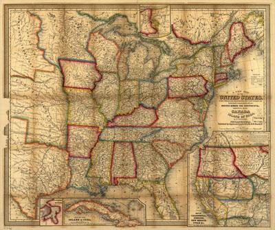
A new map of the United States. Upon which are delineated its vast works of internal communication, routes across the continent &c. Williams, W. (Wellington) Philadelphia, Insets: Map of California, Oregon, New Mexico, Utah &c. 26 x 23 cm.--Map of the island of Cuba. 9 x 23 cm.--City & harbor of Havana. 8 x 7 cm.--Map of the Niagara River and Falls. Map of the eastern half of the United States and part of Canada showing drainage, state boundaries, cities and towns, roads, railroads, and canals. Showing also the island of Cuba.
SKU: trans085
Price Starting At: $12.50