1851 Disturnell's Map of U.S. and Canada
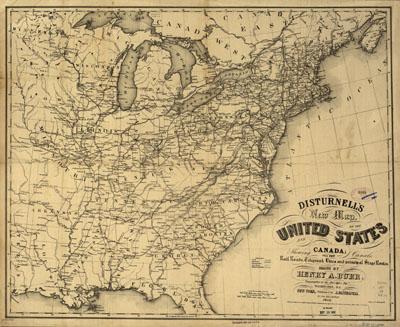
Disturnell's new map of the United States and Canada showing all the canals, rail roads, telegraph lines and principal stage routes. Drawn by Henry A. Burr. Burr, Henry A. New York, J. Disturnell, 1851. Relief shown by hachures. Map of the eastern half of the United States showing relief by hachures, drainage, major cities and towns, canals, roads, telegraph lines, railroads, and unfinished railroads. [From published bibliography]
SKU: trans029
Price Starting At: $12.50